How to use the US City Wheel
The US City Wheel picks an American city for trips, games and lessons. Here's how to narrow it by region and use the result.
Quick start
- Start with All Cities, or pick the Northeast, Midwest, South or West.
- Spin. The wheel lands on one city, shown with its state.
- Use it for a trip idea, a class project or a game.
- Remove & spin again to work through the list without repeats.
Pick a region
Choose All Cities, Northeast, Midwest, South or West. Every city is shown with its state, like Portland, OR, so there's no mix-up.

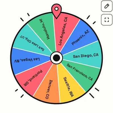
Ways to use it
- Road-trip roulette: spin your next stop.
- Geography lessons: find the city on a map.
- Writing prompts: set a story there.
- Remote team icebreaker: share something about the city.
Your city
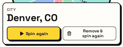
The card shows the city and state. Planning a route? Remove & spin again picks several different stops.
Great for
- Road-trip and weekend-trip ideas
- Geography lessons and city research projects
- Picking a setting for a story
- Travel bucket-list games
- Trivia and quiz rounds
- Choosing a city for a design or photo challenge
Customize everything else
This page uses the same wheel as the homepage, so all the usual options work here too. The full wheel guide explains each one with pictures:
FAQ
How many cities are on the US City Wheel?
Forty: ten in each U.S. Census region. You can add as many as you like.
Can I spin only West Coast or Southern cities?
Pick West or South above the wheel to spin just that region.
Why does each city show a state?
Some city names exist in more than one state, like Portland, so the state keeps them clear.
Is Washington, DC included?
Yes, in the South region, which is where the Census Bureau places it.